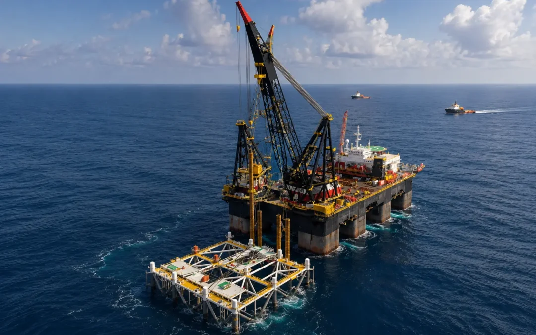
A subsea installation campaign is moving toward mobilisation.
The vessels have been identified. Equipment schedules are being finalised. Procurement teams are working around lead times, and offshore crews are being aligned with the expected installation window.
Then the latest seabed data changes the picture.
Soil conditions are weaker than early assumptions suggested. The planned installation method may need to be reviewed. Additional equipment may be required. The vessel originally considered suitable may no longer be the best fit for the job.
What begins as a technical finding can quickly become an operational planning issue.
This is why early geodata integration matters. For offshore developers, geodata is not only an engineering input. It is also a planning tool that helps reduce uncertainty before key project commitments become difficult to change.
Where uncertainty begins
Offshore projects are shaped by decisions made long before execution begins.
During early planning, assumptions are made about seabed conditions, installation methods, vessel requirements, equipment needs, shore-base readiness, and offshore sequencing.
On paper, the plan may look aligned.
But once execution begins, small gaps in understanding can create delays. A seabed condition that affects foundation design may change equipment requirements. A previously unidentified obstruction may alter installation sequencing. A revised interpretation of bathymetric or environmental data may influence vessel approach, lifting strategy, anchoring method, or support requirements.
At that point, the project is no longer dealing with one isolated technical issue. It is dealing with a delivery problem that touches several parts of the execution chain.
Geodata beyond engineering
Geophysical and geotechnical surveys are often viewed through the lens of design.
They help engineers understand seabed profile, soil behaviour, water depth, geological hazards, and site-specific operating conditions. But the value of that information extends beyond engineering.
It also shapes practical delivery questions.
What type of vessel support will be required? Will the planned equipment still be suitable? Can the installation sequence remain unchanged? Do procurement timelines support the revised method? Will shore-base preparation need to change?
These are not questions that should wait until mobilisation. The earlier they are addressed, the more room a project has to adjust when conditions turn out differently than expected.
From data to planning decisions
Consider a realistic planning situation.
An offshore developer is preparing for subsea infrastructure installation in Africa. Early assumptions suggest that the selected vessel spread and installation equipment will be sufficient. Based on that, the team begins reviewing vessel availability, equipment movement, port activity, and mobilisation timelines.
Before vessel commitments are finalised, updated geotechnical data shows that seabed conditions at part of the site are less stable than expected.
The engineering team reviews the installation approach. The revised method now calls for different handling equipment and a vessel with stronger installation capability.
If this information arrives late, the project may face vessel replacement, delayed equipment sourcing, higher mobilisation costs, and pressure on the offshore window.
If it arrives early, the same finding becomes a manageable adjustment. Vessel suitability can be reassessed before contracts close. Equipment requirements can be checked against procurement lead times. Shore-base and marine support plans can be updated while there is still room to do so.
The seabed condition is the same in both cases. What changes is how much flexibility the project still has when the information arrives.
Why it matters in Africa’s offshore energy sector
Offshore projects across Africa often operate in environments where coordination is demanding.
Developers may need to work across multiple contractors, ports, suppliers, vessels, shore bases, and regulatory processes. Many projects also depend on specialised resources, long supply chains, and carefully timed offshore windows.
In this context, late-stage uncertainty can become expensive. A delayed engineering decision can become a logistics issue. A logistics issue can become a vessel delay. A vessel delay can affect offshore execution.
For companies like Sealandair Integrated Solutions, operating within Africa’s offshore energy sector, the value of geodata is not only in what it reveals, but in how early those insights inform planning decisions.
Reducing uncertainty offshore starts long before the first vessel leaves port.
It starts with how early the right information reaches the people who have to plan around it.